GEO-GNOME GIS mountain coverages @ mountains 2016
06.10.2016, Braganca, Portugal. Mountain Research Initiative executive director and GEO-GNOME member Dr. Greg Greenwood presents newly implemented global GIS coverages of the world’s mountains at the mountain 2016 first International Conference on Research for Sustainable Development in Mountain Regions (ICRSDMR).
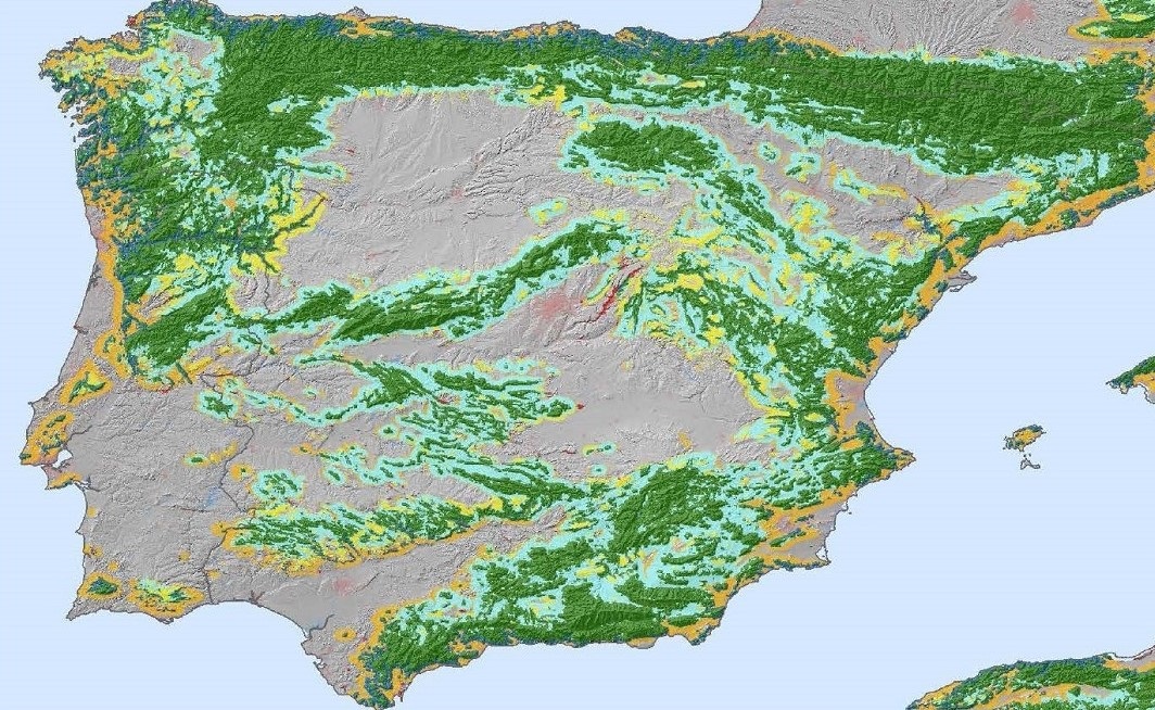
Allowing for the simultaneous visualization and the quantitative comparison of various mountain definitions is a useful contribution to the mountain research community. The three approaches for which global GIS coverage has become available are the Kapos definition (Kapos et al. 2000), the GMBA definition (Körner et al. 2011), and the Ecological Land Units approach (Sayre et al. 2014). The three coverages are provided at 250m DEM based on GMTED2010 Global Multi-resolution Terrain Elevation Data (Source: USGS, http://earthexplorer.usgs.gov/) and are available for download. Implementations were performed at the Center for Development and Environment (CDE, University of Bern) by Jürg Krauer based on data provided by GMBA and the US Geological Survey (USGS).